ALUSOARE
TRAVEL TIPS
Itineraries
Live the dream
Europe A-M
Bulgaria
Belgium
Austria
Czech Republic
England
France
Germany
Greece
Hungary
Iceland
Ireland
Italy
Lithuania
Malta
Europe N-Z
Netherlands
Northern Ireland
Norway
Poland
Portugal
Romania
Slovenia
Scotland
Spain
Sweden
Turkey
Latin America
Argentina
Bolivia
Colombia
Costa Rica
Cuba
Mexico
Nicaragua
Panama
Peru
Uruguay
SOUTHEAST ASIA
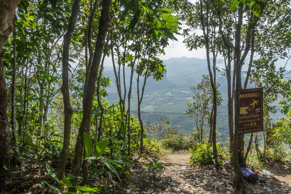
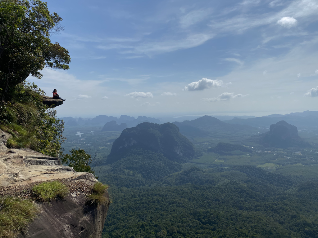
Thailand
STREETART
Packing tips
Gust Posts
ABOUT
Liebster Award
TRAVEL TIPS
Itineraries
Live the dream
Europe A-M
Bulgaria
Belgium
Austria
Czech Republic
England
France
Germany
Greece
Hungary
Iceland
Ireland
Italy
Lithuania
Malta
Europe N-Z
Netherlands
Northern Ireland
Norway
Poland
Portugal
Romania
Slovenia
Scotland
Spain
Sweden
Turkey
Latin America
Argentina
Bolivia
Colombia
Costa Rica
Cuba
Mexico
Nicaragua
Panama
Peru
Uruguay
SOUTHEAST ASIA
Thailand
STREETART
Packing tips
Gust Posts
ABOUT
Liebster Award

 RSS Feed